
The 10 Billion Acre Question: Assembling the Nature Tech Stack for Cattle Grazing
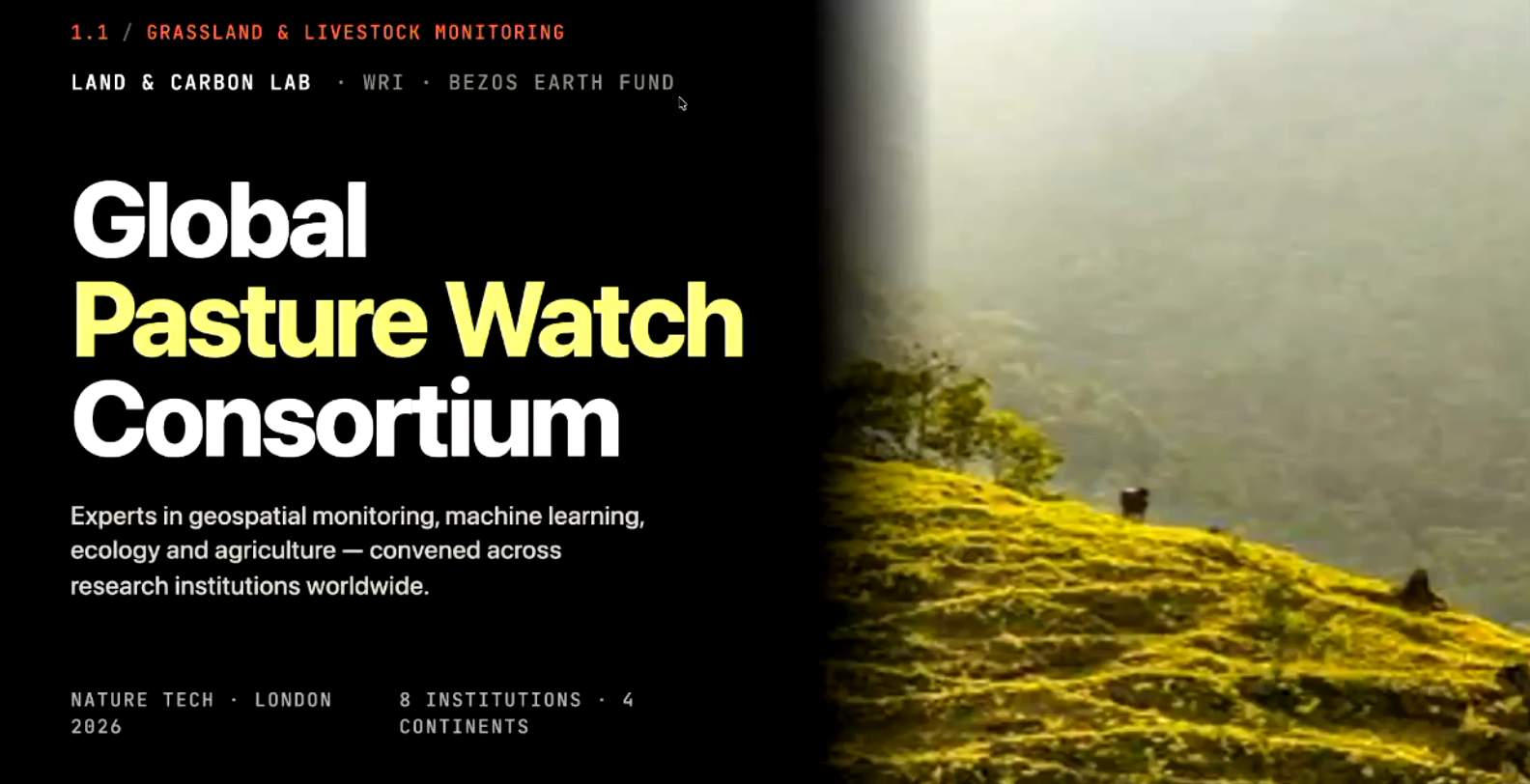
Screenshot from the session presentation
Session Description
Cow Patrol's Tim Tensen sat down with Craig Mills of WRI's Land and Carbon Lab and Tim Coles of RePlanet to unpack what it actually takes to bring nature tech to the world's largest agricultural land use. From satellite monitoring of grasslands to financing rotational grazing on the ground, the session traced the tech stack needed to turn cattle farming into a genuine climate and biodiversity solution, and where the gaps still are.
Speakers
Tim Tensen, CEO, Cow Patrol (moderator)
Craig Mills, Director, Land and Carbon Lab, WRI
Tim Coles, CEO, RePlanet
Watch the Session Recording
Key Takeaways
Cattle graze roughly 10 billion acres globally, the single largest human land use on Earth, and cows make up 38% of all mammalian biomass on the planet, more than humans (36%) and twelve times all wildlife combined (5%).
Despite that scale, grazing is one of the least tech-enabled agricultural systems in existence, with fewer than 10% of ranchers using any form of technology, including a basic notes app.
WRI's Global Pasture Watch and Global Nature Watch give free, public satellite data on grassland extent and productivity, with an AI layer that lets users ask questions in plain language instead of parsing raw datasets.
RePlanet finances rotational grazing and forest regeneration through carbon credit sales, with 60% of the final credit value going directly to the farmer or landowner, independently verified.
Rather than planting trees, RePlanet increasingly fences off land next to existing native forest and lets it regenerate naturally, citing ETH Zurich research showing naturally regenerated land held 30% more carbon after three years than planted forest, and letting them cover 10,000 hectares in one year instead of five.
Biodiversity monitoring turned out cheaper than carbon monitoring in these projects, because local teams can collect samples in the field (camera traps, pitfall traps, soil samples) and send them to scientists, rather than flying experts out to remote sites.
Farmer compliance with grazing plans is verified through in-person site visits and detailed six-month grazing plans, not IoT or drone monitoring, since a single drone flyover only captures livestock counts for one day.
The panel's biggest open gap: satellite data updates annually, but managing grazing well needs it on a sub-weekly basis. WRI and Global Methane Hub's "Time to Graze" project is an early attempt to close that gap, aiming to monitor grassland changes from space every five days.
